Welcome!

Benvenuti in queste pagine dedicate a scienza, storia ed arte. Amelia Carolina Sparavigna, Torino

Wednesday, June 6, 2018

Marc Antony's speech

Friends, Romans, countrymen, lend me your ears;
I come to bury Caesar, not to praise him. The evil that men do lives after them;
The good is oft interred with their bones; So let it be with Caesar.
The noble Brutus Hath told you Caesar was ambitious:
If it were so, it was a grievous fault, And grievously hath Caesar answer’d it.
Here, under leave of Brutus and the rest – For Brutus is an honourable man;
So are they all, all honourable men – Come I to speak in Caesar’s funeral.
He was my friend, faithful and just to me: But Brutus says he was ambitious;
And Brutus is an honourable man.
He hath brought many captives home to Rome Whose ransoms did the general coffers fill: Did this in Caesar seem ambitious? When that the poor have cried, Caesar hath wept: Ambition should be made of sterner stuff:
Yet Brutus says he was ambitious; And Brutus is an honourable man.
You all did see that on the Lupercal I thrice presented him a kingly crown,
Which he did thrice refuse: was this ambition? Yet Brutus says he was ambitious;
And, sure, he is an honourable man.
I speak not to disprove what Brutus spoke, But here I am to speak what I do know.
You all did love him once, not without cause: What cause withholds you then, to mourn for him?
O judgment! thou art fled to brutish beasts, And men have lost their reason. Bear with me;
My heart is in the coffin there with Caesar, And I must pause till it come back to me.


Arcobaleno

Torino, ore 6:30, 6 Giugno 2018


Monday, June 4, 2018

The Elephant - the symbol of the Caesar family

Gaius Julius Caesar (12 or 13 July 100 BC – 15 March 44 BC) is known by his cognomen Julius Caesar. Caesar was born into the gens Julia, descent from Iulus, son of Aeneas. The family originated from Alba Longa. The cognomen "Caesar" originated, according to Pliny the Elder,  with an ancestor who was born by Caesarean section. The Historia Augusta suggests three possbile explanation: that the first Caesar had a thick head of hair (Latin caesaries); that he had bright grey eyes (Latin oculis caesiis); or that he killed an elephant (caesai in Moorish) in battle. Caesar issued coins featuring images of elephants, suggesting that he favored this interpretation of his name.

Silver Denarius - Military mint in Italy, circa 49 B.C. Elephant walking right, trampling on serpent, CAESAR in exergue. Sacrificial implements, simpulum, sprinkler, axe and priest's hat. 
The obverse type may symbolize victory over evil, whereas the reverse refers to Caesar's office of Pontifex Maximus.


Sunday, May 13, 2018

I Menhir di Sorgono (Biru e Concas) e le stelle

 Fig.1

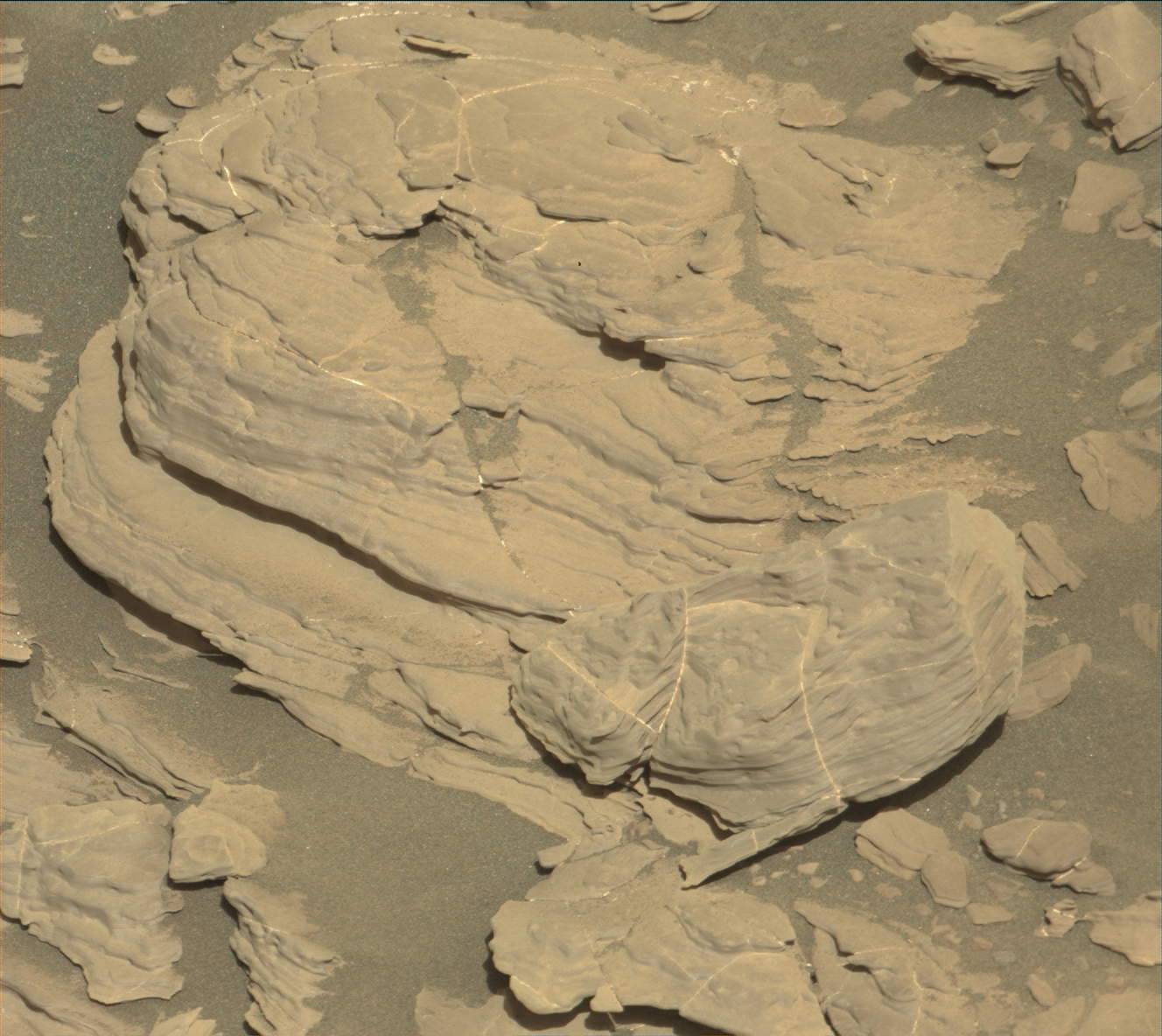
Nel cuore della Sardegna, quasi al suo centro geografico (Fig.1), si trovano i menhir di Biru 'e Concas. L'importante sito archeologico è situato nel territorio del comune di Sorgono, in provincia di Nuoro. Wikipedia ci dice che il sito, che sorge su una collina, era probabilmente dedicato ad antenati defunti, diventati eroi della popolazione locale. Il sito risale ad un periodo compreso tra il Neolitico Recente (3300-2700 a.C.) e l'Eneolitico (2700-1700). I menhir si trovano disposti in molti modi, anche in allineamenti. Alcuni menhir presentano delle forme antropomorfe, e sono quindi definiti come statue stele. In Sardegna, le statue stele vengono datate intorno al III millennio a.C. (età del rame) e si possono suddividere in due tipi figurativi: un tipo maschile, che probabilmente rappresentava eroi o guerrieri mitici, ed un tipo con attributi femminili. 


Fig.2: Un allineamento del sito di Biru e Concas (Cortesia, Alberto Zilaghe, Street View, Google Earth)

Del sito di Biru 'e Concas, un articolo di Antonella Petris su meteoweb.eu riporta quanto segue. "Come spiega Corrado Mascia, un lettore di Meteoweb che di recente ha avuto modo di osservarli, “la concentrazione dei menhir è straordinaria ...  Sono disposti in coppia, isolati o in triadi secondo allineamenti circolari estesi che possono comprendere fino a venti menhir. Consistono, dunque, in un complesso di allineamenti megalitici, che secondo un filone culturale di studiosi, costituivano le carte astronomiche (o osservatori astronomici)determinanti il tempo e lo spazio e capaci di segnare i solstizi e gli equinozi". 


Fig.3: Ecco un notevole allineamento di 20 menhir. Seguono la direzione cardinale Nord-Sud.
In figura (Cortesia, SunCalc.org) si vedono le direzioni del sorgere del sole e del tramonto all'equinozio, secondo un orizzonte astronomico. L'allineamento di menhir è coincidente con la direzione meridiana.

Fig.4: Un altro allineamento di menhir (deviazione di circa 10 gradi dalla direzione cardinale verso Sud).


Consideriamo  il primo allineamento di menhir, quello che ha la direzione Nord-Sud. Se  guardiamo  verso Sud,  utilizzando Google Earth e il suo strumento che permette di avere il profilo di elevazione locale, vediamo che l'orizzonte naturale si eleva di circa 4 o 5 gradi sopra l'orizzonte astronomico. 
Che stelle potevano vedere le persone che avevano costruito il sito?
Usiamo il software Stellarium, che ci permette di simulare il cielo antico (Fig.5 e 6).


Fig.5: Ecco le stelle che si potevano vedere guardando verso Sud attorno al 3300 BC. Sopra l'orizzonte naturale, rappresentato dalla linea arancione, splende la Croce del Sud. Anche Alpha Centauri (Rigil Kentaurus) è visibile. La linea bianca rappresenta l'orizzonte astronomico.


Fig.6: Per effetto della precessione dell'asse terreste, attorno al 1700 BC, le stelle della Croce sono più basse sull'orizzonte naturale. 

Guardando la Fig.6, ci possiamo chiedere: Rigil Kentaurus era visibile sopra l'orizzonte naturale? Ed eventualmente, in che direzione sorgeva? Proviamo a simulare come si poteva vedere sorgere Rigil Kentaurus al sito di Sorgono (Fig.7). 

 Fig.7

Sempre con Stellarium, abbiamo che Rigil Kent arrivava a circa 4 gradi sull'orizzonte astronomico, e quindi poteva esser vista sorgere dall'orizzonte naturale, quanto il suo azimuth era di 10 gradi circa rispetto al Sud. Ma questo angolo è proprio l'angolo del secondo allineamento, quello mostrato nella Fig.4. 

In effetti, quanto detto dall'articolo di meteoweb.eu è ben fondato. Sarebbe interessante aver a disposizione altri articoli che mostrino anche gli allineamenti dei menhir, oltre a quelli che si vedono nelle'immagini satellitari, per poter fare altre simulazioni e conseguenti paragoni con le mappe stellari.


Processing images from Mars

A site exists which is giving processing of images from Curiosity.
It is https://www.facebook.com/JourneytotheSurfaceoftheMARS/
Here an example:
https://www.facebook.com/JourneytotheSurfaceoftheMARS/photos/a.333231393552422.1073741828.333200476888847/679750542233837/?type=3&theater

This link is showing a detail of the image (Courtesy: NASA)
https://mars.jpl.nasa.gov/msl-raw-images/msss/01692/mhli/1692MH0007060010603983C00_DXXX.jpg
Here the "object" we can see in it.


Thursday, May 3, 2018

Shell

The original image is available at the link
NASA's Mars rover Curiosity acquired this image using its Mars Hand Lens Imager (MAHLI), located on the turret at the end of the rover's robotic arm, on January 7, 2018, Sol 1927 of the Mars Science Laboratory Mission, at 06:40:59 UTC.
Image Credit: NASA/JPL-Caltech/MSSS 

Some processing of the image is giving this "shell".


Mimetic "animal"

The original image is available at the link
The image was taken by Mastcam: Right (MAST_RIGHT) onboard NASA's Mars rover Curiosity on Sol 1928 (2018-01-08 04:04:28 UTC). Image Credit: NASA/JPL-Caltech/MSSS 

Some processing of the image is giving this mimetic "animal".

Wednesday, April 4, 2018

Astronomical Analysis of Diagonal Avenues of Washington


An Astronomical Analysis of Some of the Diagonal Avenues of Washington
PHILICA, 2016,Article 613 Available at SSRN
 https://papers.ssrn.com/sol3/papers.cfm?abstract_id=2789700

Amelia Carolina Sparavigna

Here we are proposing an astronomical analysis of the directions of some of the diagonal avenues of Washington, made by means of satellite images and a modern ephemeris, the Photographer’s Ephemeris, a well-known software used for planning outdoor photography. Some diagonal streets of Washington seem had been aligned along the northern moonrise azimuth of 1791, the year the engineer Pierre Charles L’Enfant started the survey for planning the town for George Washington, and along the southern moonrise azimuths of 1792, the year the surveyor Andrew Ellicott revised the plan. In this manner, in the directions of some diagonal avenues, the engineers that worked on the urban project, introduced a reference to the years of their plans for the Capital of the United States.
Keywords: Astronomy, Satellite Images, Architecture, Modern Ephemerides, Urban Planning


 Copy of the U.S. Coast and Geodetic Survey, Washington, D.C. (1887).

Detail of Figure 1, with some diagonal avenues of L’Enfant Plan and angles.

A detail of the faint original map of 1791 (https://www.loc.gov/item/88694205/) after a processing of the image.

Google map of Washington.

Snapshot of the Photographer s Ephemeris for Washington on October 3, 2015.  The blue lines are the moonrise and moonset azimuths, the yellow and orange lines those of sunrise and sunset. Note the coincidence to the diagonal avenues.

Snapshot of the Photographer s Ephemeris for Washington on October 3, 2015. 

  
Snapshot of the Photographer s Ephemeris for Washington on October 18, 2015.  

Shwedagon Pagoda and the Zenith Passage of the Sun on Vesak Day of Buddha

An article discusses the orientation of the Shwedagon Pagoda, the gilded stupa situated on Singuttara Hill in Yangon, Myanmar, and a possible link with the sunrise on the days of the zenith passage of the sun. These days are also linked to the Festival of the Full Moon of the month of Kason, the second month of the traditional Burmese calendar. In Myanmar, this is the festival of the Vesak Day of Buddha.

 PHILICA, 2018, Article number 1233.


The south-eastern side of Shwedagon Pagoda. Image Courtesy: Bjørn Christian Tørrissen


A monk is walking on the facade. Image Courtesy: Bjørn Christian Tørrissen.


Sunrise direction on the day of the Kason Festival, 29 April 2018 (Courtesy SunCalc.org).

Image Segmentation - Phloem and Xylem

Measuring the size of tubules in phloem and xylem of plants Philica, 2017, n.1104.The paper is showing how to measure, by means of the segmentation of a SEM image, the cross-sections of the tubules in phloem and xylem of plants. https://hal.archives-ouvertes.fr/hal-01578826